Research papers related to the project:
- Patricia Stolf, Jean-Marc Pierson, Amal Sayah, Georges Da Costa, Paul Renaud-Goud, “e-Flooding: Crisis Management Through Two Temporal Loops” In HICSS 52, 2019.
- Florent Dubois, Paul Renaud-Goud, Patricia Stolf, “Capacitated Vehicle Routing Problem under Deadlines” In International Conference on Information and Communication Technologies for Disaster Management (ICT-DM 2019), Paris, 18/12/2019-20/12/2019, IEEE (Eds.), 2020.
- Victor Champonnois, Katrin Erdlenbruch. “Willingness of households to reduce flood risk in southern France”. Journal of Flood Risk Management, 2021
https://doi.org/10.1111/jfr3.12696 - Patricia Stolf, Julian Berthet, Christelle Bosc, Pauline Bremond, Arnaud Ceyte, et al.. Towards Flash Floods Management Using Temporal Loops. [Research Report] IRIT/RR–2021–06–FR, IRIT – Institut de Recherche en Informatique de Toulouse. 2021. ⟨hal-03327977⟩ https://hal.archives-ouvertes.fr/hal-03327977v1
Project presentations:
- On February, the 11th, Cerema organized a french workshop about the uses of satellite images for territories. Different sessions have been proposed about data access, data analyzis and use cases such as risk, water and spatial planning.
Website of the event: https://www.cerema.fr/fr/evenements/apport-imagerie-satellitaire-amenagement-territoires
Cerema and SDIS31 have presented the ANR e-Flooding project explaining how to use satellite images during a crisis and after at a long-term scale for feedback.
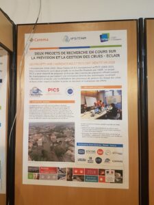
- A joint poster with the ANR PICS and e-Flooding has been presented to the ANRN 2019.