 i-Nondations: a project funded by the ANR
i-Nondations (e-flooding) is a french research project funded by the ANR . It aims to handle fast floods to improve crisis management and resiliency.
Every year floods happen. Solutions exist for slow floods but fast ones are difficult to predict and to handle. This project aims to model fast floods in term of risk management and impact on the infrastructures using data collected by technological or human sensors.
The project will integrate different technical expertise to handle fast floods in crisis management and resiliency.
i-Nondations: our proposal to manage fast floods
The project suggests managing three phases: before, during, and after a crisis in a loop of feedback coming from the autonomic field called MAPE-K loop. It is based on four steps : Monitoring, Analysis, Planning and Execution with a Knowledge database. The monitoring will detect events, Analysis will analyze the risks based on models of predictions; creation of metrics to measure the impact on infrastructures; and proposing functions to evaluate alternative trajectories. The Plan will decide how to handle the crisis in order to find the optimal on the alternatives and then actions will be executed.
Two loops will be used : one for short term timescale and one for long term.
The short term one will aim to handle the crisis while the long term one will aim to prevent other crisis. Both loops will interact through a learning process. The Execute module of the loops will not be adressed in this project.
The project aims to integrate in an autonomic approach for a fluid adaptation to the evolutions and to the events.
Different formal descriptions are proposed for the sensors, the environment (infrastructure, activities, events, answers previously proposed (for example in similar geographical area or in similar context). The Knowledge database will be filled continuously in order to identify similarity between events, study answers and construct different solutions to handle crisis.
Fast floods damages
Illustration: Credit Enedis.
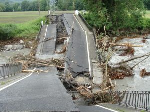
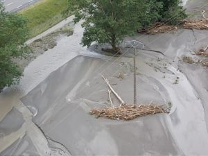
Illustration: Credit SDIS31.
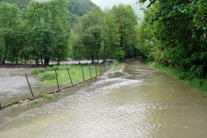
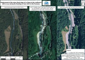
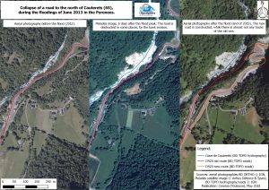
Illustration: Satellite images.
