After three days in a row of workshops the team of FabSpace 2.0 Darmstadt is satisfied by the results generated out of the latest FabSpace 2.0 Space Science Shop Workshop (S3). All involved participants of the event were agreed on the constructive working atmosphere during the workshop days. On top of that, project leader of cesah GmbH, Sascha Heising says “we were also able to prove that the concept of Keynote, Brainstorming and Deep Dive session worked perfectly and was highly accepted by the participants”. The project leader from TU Darmstadt Prof. Dr.-Ing. Matthias Becker presented in the first day on the GNSS and elaborated future innovation possibilities. The assistant project leader from TU Darmstadt Dr.-Ing. Damian Bargiel was presenting the concept and possibilities of radar remote sensing, while the project manager Bayzidul Islam made an awesome job on the presentation on optical remote sensing and provided a lot of useful information for the participants.
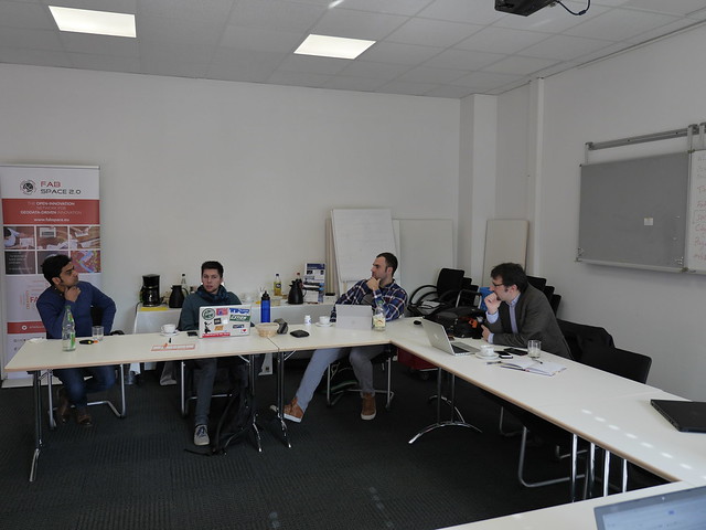
Some of the participants while discussing during the workshop (Photo: FabSpace)
FabSpace Darmstadt kicked of the workshop on Tuesday, 6th of March, with the topic of Radar Remote sensing with the focus on Sentinel-1 radar satellite mission of Copernicus. The session was entitled as “SAR – Radar Image Processing for Application Development” by Dr. Bargiel. In this presentation Dr. Bargiel highlighted his recent research activities at TU Darmstadt and the potential of multi-temporal analysis of radar imagery for landscapes, crop classification and so on. This new way of how to think of radar imagery or maps for a whole region has a lot of hidden potential. For the attendees the results and explanations were just amazing and a great point to start thinking. Beside introducing this he also gave a very good overview of the concept and possibilities of the radar imagery and image processing technology. The feedback on this Keynote was outstanding and first ideas for new business were revealed just after minutes by the participants. “By seeing this, I can think about several business cases immediately”, says one of the workshop users. Therefore, in the end of the live presentation open discussion were carried out to explore the future possibilities of radar satellite Sentinel-1 imagery.
Dr. Damian Bargiel in discussion with participants (Photo: FabSpace)
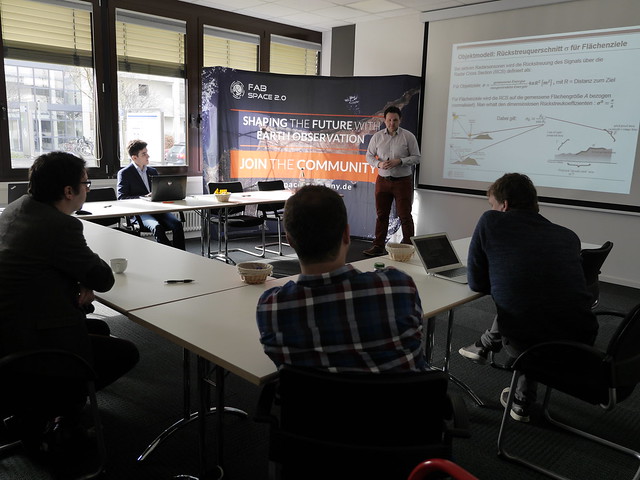
The second day was all about “GNSS on the move” by Prof. Dr.-Ing. Matthias Becker. He showed the recent developments of satellite navigation and its influence on so many applications, especially smart mobility and smart city. On top of that he highlighted some of the projects within Digitalstadt Darmstadt strictly connected and often in the need of GNSS. He also mentioned the possibilities of the use of multi frequency or multi services to improve availability and accuracy of positioning services. Of course he also explained benefits, advantages and differences between the available GNSS services like GPS, Galileo and GLONAS. „The availability of low-cost dual-frequency Multi-GNSS chipsets opens a new age in stand-alone positioning for the mass market”, summarized Prof. Becker one of the results of his session. Like in the first session the audience created a few potential business applications right after his presentation in an elaborative open discussion.
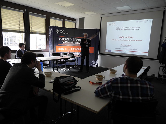
Prof. Becker explains Potentials and Limitations for Smart Mobility (Foto: FabSpace)
The last session was all about Sentinel-2 the color vision of Copernicus, given by Bayzidul Islam. The keynote started with the brief introduction of the Sentinel-2 satellite and imagery. The presentation gave detailed information on the different level of available data provided by Sentinel-2 satellite, the technical details on the spectral bands, wavelengths, purposes and other image properties. The presentation also covered some use cases that developed by interplaying between visual, infrared and short wave bands. In the presentation Islam also told a story on how the Big Data generated by optical satellite Sentinel-2 imagery and other cutting age technologies like Machine Learning (ML), Artificial Intelligence (AI) and Internet of Things (IoT) are correlated with each other. The presentation demonstrated how Machine Learning algorithms like Deep Learning can be used to process petabytes of optical imagery to develop digital applications. In another part it was shown how Artificial Intelligence can enhance the usability of satellite imagery to make a better world for the sustainable future. It was also shown how we can use optical satellite Sentinel-2 imagery to develop system of a system which is the concept of Internet of Things (IoT). At the end of the day there were also open discussion with all participants to get to know better on those geospatial technologies.
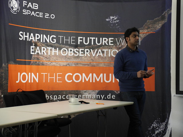
Bayzidul Islam explains potentials of Sentinel 2 data (Photo: FabSpace)
Finally, the S3 Workshop revealed a couple of interesting challenges that might be tackled in future FabSpace events. If you want to learn more about it, just get in contact with FabSpace 2.0 Darmstadt staffs. The team is also looking forward to the next S3 Workshop with a focus on other fields of application.


