-
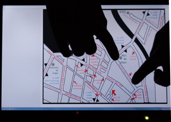
Multimodal interactive maps are a solution for providing the blind with access to geographic information. Current projects use a tactile map set down on a monotouch display with additional sound output. However monotouch displays present important limitations concerning usage of interaction technologies and presentation of information. For example, information can only be obtained by simple touch events and not gestural interaction. Gestural interaction on multitouch displays would enable new possibilities, for example indicating the distance between two points on the map, zooming, etc.
For this reason, our project investigates the usage of multitouch displays for multimodal interactive maps.
click here to view pictures -
Prototype
-
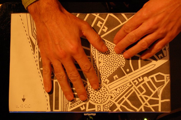
A high-fidelity prototype has been realized using the Stantum touch screen. The touch device is connected to the computer via a USB port and a VGA port. The computer needs a sound card for Text-to-Speech (TTS) output. A tactile map is placed on the touch device.
The prototype is composed of four modules connected by the ivy middleware. A driver adapted to our require-ments reacts to touch events on the display and sends them to another software module which has access to the map in SVG format. It receives these messages and uses the touch position in order to determine the element of the map that has been touched. It then sends a message with the element's ID on the ivy bus. A third module, MIM (Multimodal Interactive Map) receives messages of both modules. It reacts only to "touchdown" events as the sound output should only be triggered when the user explicitly presses on the map and not when he explores the map by following the emboss-ment with his fingers ("touch move"). MIM then sends a message with the text output to the TTS module via ivy. Finally, the TTS module converts the string into a sound output. The user explores the map following the embossed streets and borders with his fingers. When he wants to get information on an element, he makes a press and hears asso-ciated information (e.g. street name, name of a park or river). The application can easily be extended to add further output elements.
-
Publications
-
ITS 2010 : paper
 and poster
-
Contacts
-
Anke Brock, anke.brock "at" irit.fr
Christophe Jouffrais, Christophe.Jouffrais "at" irit.fr
Bernard Oriola, Bernard.Oriola "at" irit.fr
Philippe Truillet, Philippe.Truillet "at" irit.fr
